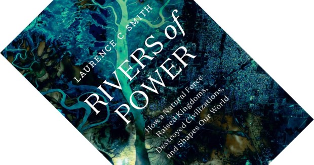
satellite imagery

Book review – Rivers of Power: How a Natural Force Raised Kingdoms, Destroyed Civilizations, and Shapes Our World

7-minute read

There is a vast, arterial power humming all around us, hiding in plain sight” (p. 320). With these words, geographer Laurence C. Smith concludes his engaging and impressive book on the environmental history of rivers. Touching on a multitude of topics, some of which I did not even know I cared about, I found my jaw dropping more than once.

(more…)

Book review – Terrestrial Impact Structures: The TanDEM-X Atlas (2-Volume Set)

7-minute read

When Google Earth first launched in 2001, I, like many others, found myself poring over satellite imagery. Identifying familiar and unfamiliar landmarks always brought a certain thrill, and spotting craters was part of that. But to properly map impact structures, you need a better dataset. The stunningly produced Terrestrial Impact Structures is a large-format atlas that maps all currently accepted ones, plus some likely candidates, and makes for an instant must-have reference work for any geology or astronomy library.

(more…)

Book review – Archaeology from Space: How the Future Shapes Our Past

What is better than archaeology? How about space archaeology. More properly known as remote sensing by satellite, the use of satellite imagery has set the field or archaeology alight. And professor of anthropology Sarah Parcak is one of its most enthusiastic torch-bearers. In a book that overflows with wonder, honesty, and hope, she takes the reader on a grand tour of remote sensing, showing how it is transforming this discipline.

(more…)